Difference between revisions of "File:GudermesMap.jpg"
Jump to navigation
Jump to search
(Importing image file) |
|||
| Line 1: | Line 1: | ||
| + | Satellite view at Gudermessky District, Chechnya, Russia 43.35456, 46.09120. |
||
| − | Importing image file |
||
| + | Gudermessky District, [[Chechnya]], Russia 43.35456, 46.09120. |
||
| + | |||
| + | [[Category:Chechya]] |
||
| + | [[Category:English]] |
||
| + | [[Category:Google]] |
||
| + | [[Category:Map]] |
||
| + | [[Category:Russia]] |
||
| + | [[Category:Sergei Chupov]] |
||
Latest revision as of 08:37, 1 December 2018
Satellite view at Gudermessky District, Chechnya, Russia 43.35456, 46.09120. Gudermessky District, Chechnya, Russia 43.35456, 46.09120.
File history
Click on a date/time to view the file as it appeared at that time.
| Date/Time | Thumbnail | Dimensions | User | Comment | |
|---|---|---|---|---|---|
| current | 06:12, 1 December 2018 | 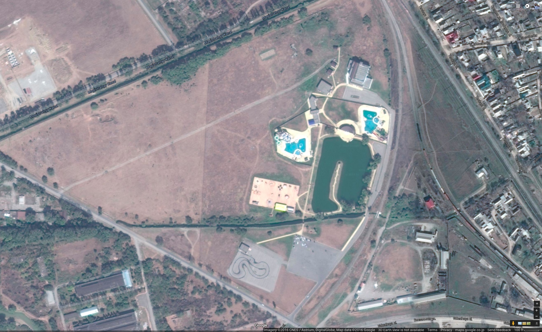 | 1,829 × 1,120 (587 KB) | Maintenance script (talk | contribs) | Importing image file |
You cannot overwrite this file.
File usage
The following page uses this file: