Difference between revisions of "File:Vh10103AvaMap2.png"
Jump to navigation
Jump to search
| Line 1: | Line 1: | ||
| + | [[Vh10103]] at map <ref> |
||
| + | https://www.google.com/maps/place/53%C2%B003'41.5%22N+158%C2%B038'03.2%22E/@58.8156698,130.0026114,4z/data=!4m5!3m4!1s0x0:0x0!8m2!3d53.06153!4d158.63423 |
||
| + | </ref> |
||
| + | of Kamchatka, y. 2020. |
||
| + | |||
| + | Coordinates: 53.06153, 158.63423 |
||
| + | |||
| + | ==References== |
||
| + | <references/> |
||
| + | |||
| + | [[Category:2020.10.02.Kamchatka disaster]] |
||
| + | [[Category:Corruption]] |
||
| + | [[Category:Kamchatka]] |
||
| + | [[Category:Map]] |
||
| + | [[Category:Pahanat]] |
||
| + | [[Category:Vh10103]] |
||
Latest revision as of 14:22, 22 October 2020
File history
Click on a date/time to view the file as it appeared at that time.
| Date/Time | Thumbnail | Dimensions | User | Comment | |
|---|---|---|---|---|---|
| current | 14:21, 22 October 2020 | 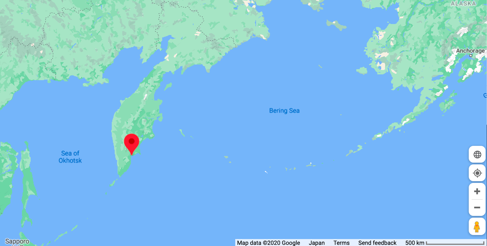 | 1,681 × 850 (321 KB) | T (talk | contribs) |
You cannot overwrite this file.
File usage
The following page uses this file: